
Why this matters to Filipinos
FMB News connects the verified facts and evidence in this report to the decisions, costs, opportunities, and risks that may affect Filipinos, Philippine communities, and the country.
Editorial standard: Sources are listed below. Verified reporting, attributed claims, uncertainty, and analysis remain distinct.
Verified facts
What happened
PAGASA said on Saturday morning, August 8, that a low pressure area outside the Philippine Area of Responsibility had a high chance of developing into a tropical depression within 24 hours.
What we know
The weather disturbance was estimated at 2,610 kilometers east of Northern Luzon at 3:00 a.m. PAGASA weather specialist Veronica Torres said it had a low chance of directly affecting the country and a low chance of entering PAR.
PAGASA was also monitoring Typhoon Dolphin outside PAR. At 3:00 a.m., Dolphin was 810 kilometers northeast of Extreme Northern Luzon, with maximum sustained winds of 155 kilometers per hour and gusts of up to 190 kilometers per hour, moving southwest at 15 kilometers per hour.
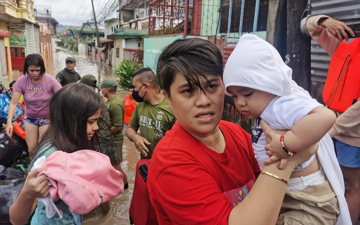
Dolphin continued to enhance the southwest monsoon over Luzon and the Visayas. PAGASA forecast monsoon rains over Occidental Mindoro, Zambales, and Bataan and occasional rains over Metro Manila and several other parts of Luzon and Antique.
Context
Background
Tropical cyclones and low pressure areas outside PAR can strengthen the southwest monsoon even when they are unlikely to cross the country's monitoring boundary or make landfall. Their indirect effect can still bring prolonged rain, rough seas, flash floods, and landslides.
What remains unclear
The low pressure area's development and track may change. PAGASA's morning assessment indicated a low chance of entry into PAR or a direct effect on the Philippines, but the bureau will continue monitoring it.
Filipino relevance
Why this matters
Even a distant weather system can influence rainfall and sea conditions through the southwest monsoon. Communities in rain-affected areas should follow official flood, landslide, coastal, and local-government advisories rather than treating distance from PAR as an absence of risk.
What to watch next
What happens next
PAGASA will continue updating the public on the low pressure area, Typhoon Dolphin, the southwest monsoon, and any changes in rainfall or coastal hazards.